
AV Solutions Makes Home Theater Installations a Breeze
Home entertainment installation services in Grand Junction, CO
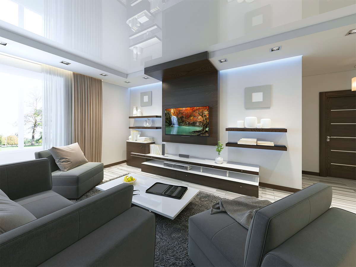
You can count on our crew for: Home TheatersHome Audio/VideoCommercial Audio/VideoSmart homeSecurity systemsVideo surveillanceIn home / business cellular boostersOutdoor audioNew Construction Wiring installations.
We can also install a home automation system so you can control your lights, blinds and stereo, all from your smartphone. Contact us today to arrange for home entertainment installation services in the Grand Junction area.

Who We Are
At AV Solutions, our goal is to provide the best in custom installations in Western Colorado. To do that, we provide an unrivaled selection of the best quality electronics, a unique and enjoyable shopping experience from the comfort of your own home, and extraordinary customer service. Our comprehensive warranties and professional support ensure our customers total satisfaction long after the sale
- Home Audio/Video
- Smart Home & Automation
- Home Theater
- Security and Surveillance
Completely professional, flexible, on time, clean neat and price was the going rate. He helped me with different project, that set him up to me as a great company to continue to work with in the future. Reliable and polite. The TV mount on the wall was set to perfection. Very satisfied.
Neil was the best. We recommend him highly. Very conscientious and it was a pleasure for him to work in our home.
Neil responded quickly to my request to mount a new flat screen TV at my rural home location. He communicated effectively to coordinate a convenient appointment time, completed the job on time and expertly, and was respectful of my time and my home. He arrived with a helper and all materials and tools needed for a successful install. A very positive experience! I would hire him/AV Solutions again.
He is very knowledgeable in terms of electrical and low voltage applications, audio equipment and many other things. He is responsive and customer oriented. He was respectful of my home, and I would trust him again in my home any time, and he has a way of getting in small spaces despite his height. He has done many projects for me over the last year.
Neil was great! I will call him if I ever have another problem before I call my cable company for service.